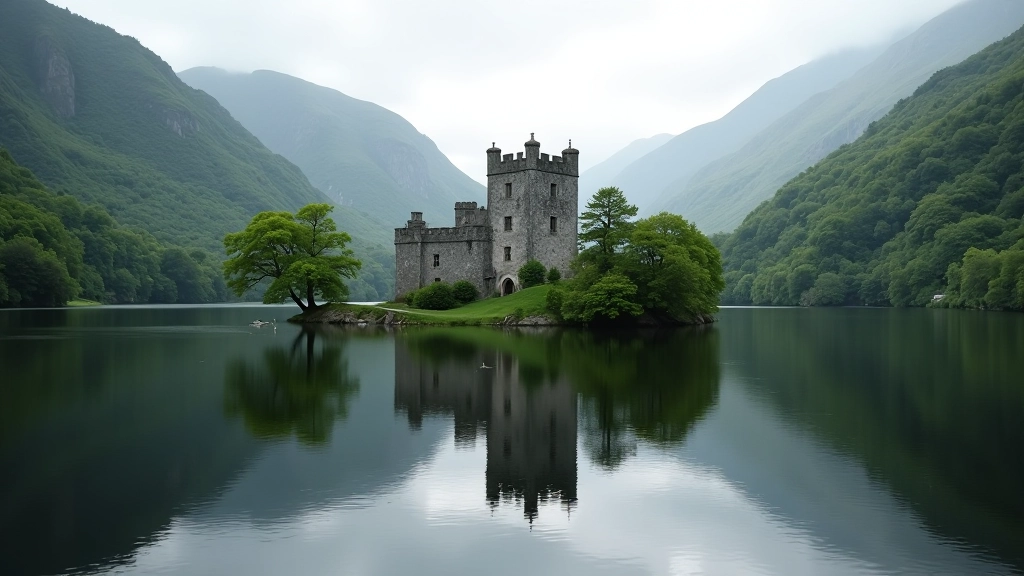
Why Lough Leane Matters for Walkers
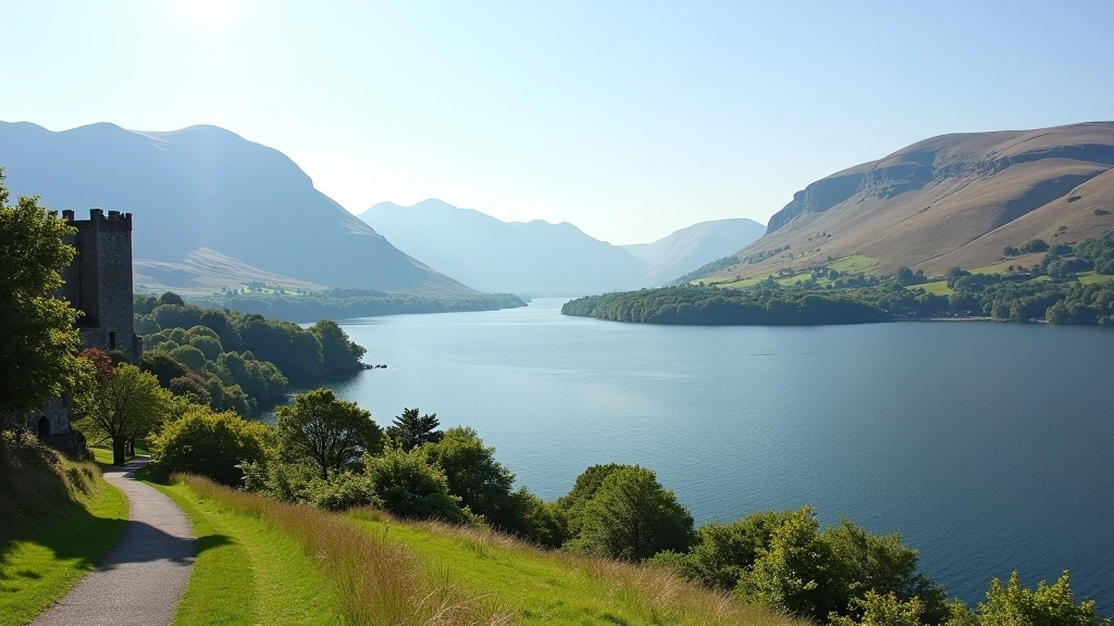
Lough Leane isn't just Ireland's largest lake — it's a walker's canvas. The water changes color with the light. The mountains shift with the seasons. You'll see things here you won't see anywhere else around the castle grounds.
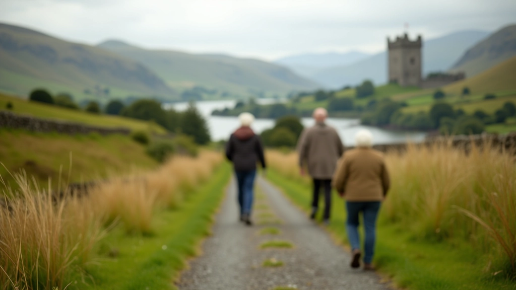
We've spent months mapping three different routes that give you genuine variety. One follows the shoreline closely, hugging the water's edge. Another climbs slightly for elevated views across the entire lake. The third winds through woodland before opening onto dramatic vistas.
What makes these routes special isn't just the scenery — it's the flexibility. You're not locked into one path. Each route offers natural stopping points, photo opportunities, and rest spots that work for different energy levels.
The Three Routes at a Glance
Shoreline Loop
4.2 km • Easy • 1 hour
Stays close to water level. Best for photography because you're constantly at the lake's edge with unobstructed views. Mostly flat with gentle undulations.
Elevated Ridge Path
5.8 km • Moderate • 1.5 hours
Climbs gradually to higher ground for panoramic views. You'll see across the entire lake and toward the castle. More sustained walking but well-worth the effort.
Woodland Discovery Route
3.5 km • Easy • 50 minutes
Wind through native oak and ash woodland before emerging onto dramatic lake views. Quieter than the shoreline route. Good for wildlife spotting.
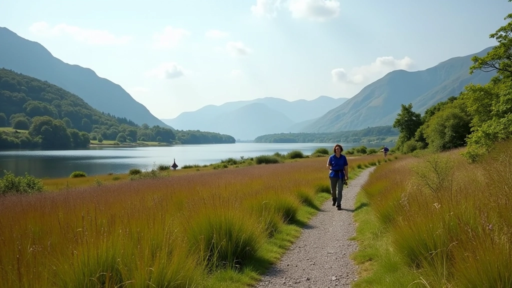
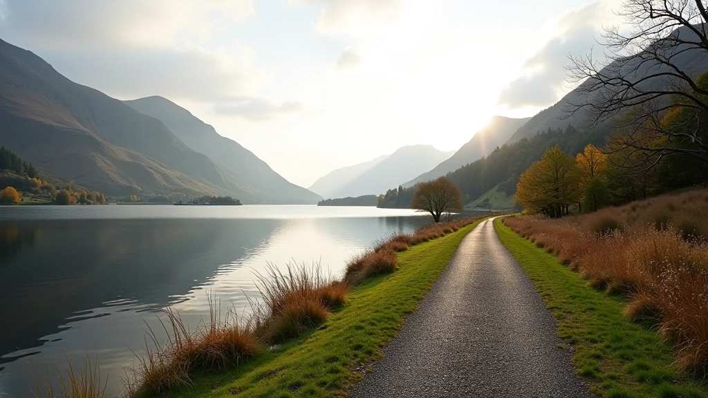
Route 1: The Shoreline Loop
This is the most accessible of the three. You're walking at the water's edge almost the entire time, which means constant visual interest and plenty of places to pause.
Start from the castle grounds car park and head toward the boat landing area. The path is well-maintained and clearly marked. You'll pass through open parkland first, then gradually the woodland opens up and you're alongside the water.
The route has three natural stopping points. The first is at the eastern promontory — roughly 1 km in — where you'll find a small bench and excellent views back toward the castle. The second is near the boathouse (around 2.5 km) where the water is particularly calm and reflective. The third is where the path curves north toward the woodland section.
Photography tip: Early morning light (6-8 am) creates mirror reflections on the water. Late afternoon (4-6 pm) gives you warmer tones with the mountains as backdrop.
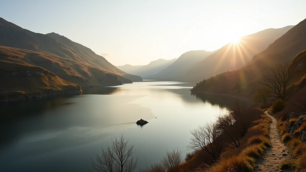
Route 2: The Elevated Ridge Path
Want to see Lough Leane the way eagles see it? This route gains about 120 meters in elevation and gives you views that'll stay with you long after you've finished walking.
The climb is gradual — you're not scrambling up anything steep. The path follows an old drovers' route that shepherds used centuries ago. It's well-defined but requires steady walking for about 45 minutes to reach the ridge.
Once you're up there, the landscape opens completely. On clear days you can see across the entire lake to the Reeks. The castle becomes a focal point below you rather than something you're walking around. There's a small shelter roughly halfway along the ridge where you can rest and take in the view.
Practical note: This route can be muddy after rain — the clay soil holds moisture. Bring proper footwear. It's worth the extra effort though because the elevated perspective shows you landscape patterns you won't see from the shoreline.
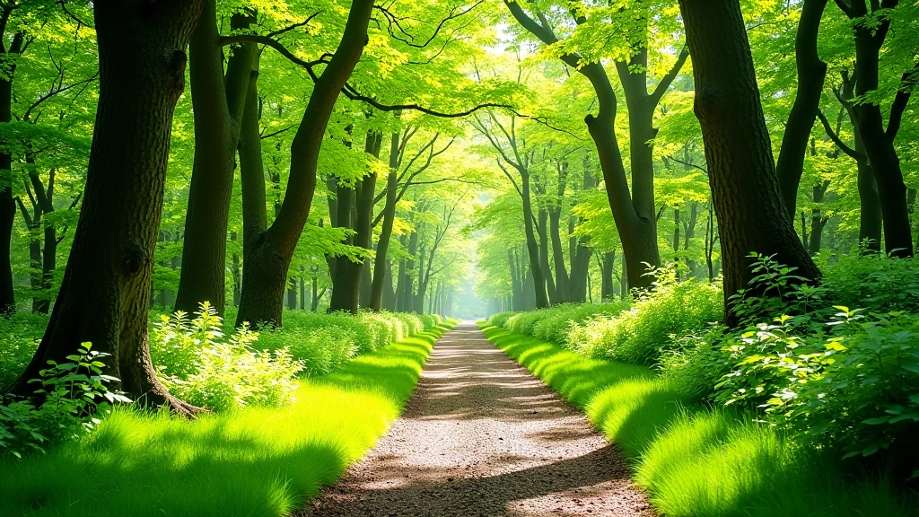
Route 3: The Woodland Discovery Route
Don't let the shorter distance fool you. This route packs genuine variety into less than 4 km. You're moving through different ecosystems and the contrast is striking.
The walk starts in open parkland, then transitions into mature oak woodland. The canopy is thick enough to provide real shade on sunny days. You'll notice the change in light quality and temperature as soon as you enter the trees. The path here is softer — you're walking on leaf litter and moss rather than packed earth.
Around the 2.5 km mark, the woodland opens dramatically and you emerge onto a raised viewing platform with unobstructed views across the lake. This is where people stop and actually sit for a while. The contrast between the enclosed woodland and the open vista is exactly what makes this route memorable.
Wildlife spotting: You'll likely see red squirrels in the woodland section. Birds are particularly active in the early morning — bring binoculars if you're into birdwatching. The transition zone where woodland meets open ground is where you'll see the most activity.
Practical Details for Your Visit
Parking & Access
All three routes start from or near the castle car park. The shoreline and woodland routes begin directly from the main parking area. The ridge route starts from a smaller car park about 500m away — there's signage showing the way.
Best Times to Walk
Spring (April-May) brings new growth and fewer crowds. Summer (June-August) means longer daylight and warmer weather but more visitors. Autumn (September-October) offers brilliant colors and clearer air. Winter's quieter but weather's more unpredictable.
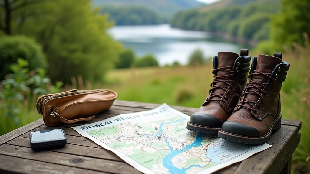
What to Bring
Water bottle (you'll want to stay hydrated). Waterproof jacket (even when skies look clear). Proper footwear with grip. Sunscreen for exposed sections. A camera — you'll want it. Hat for sun or wind protection depending on conditions.
Why These Routes Work
You're not just walking around Lough Leane — you're experiencing it from three fundamentally different perspectives. The shoreline route connects you directly to the water. The ridge path shows you the lake's relationship to the surrounding landscape. The woodland route teaches you about the ecosystem that sustains everything around these shores.
What we've found after years of walking these paths is that people gravitate toward different routes depending on what they need that day. Some days you want the meditative water-edge experience. Other days you need the accomplishment of elevation gain. Sometimes you just want to be surrounded by trees and quiet.
Pick the route that matches your mood and your energy level. You can't go wrong with any of them. And don't be surprised if you end up coming back to walk all three.
Important Information
This article is provided for informational and educational purposes. Walking conditions, trail access, and safety considerations can change seasonally and without notice. Always check current conditions with local authorities or visitor services before your walk. Weather can change rapidly in mountain and lakeside environments. Bring appropriate gear and tell someone where you're going. If you have health concerns or are new to walking, consult with a healthcare professional about your fitness level. This content is not a substitute for professional guidance or local knowledge.